The DustDuino is a air sensor kit based on two primary components, the Grove particulate sensor and the DustDuino Board. In addition to the two primary components the DustDuino kit comes with an SD card shield, a micro-USB cable, and a laser cut acrylic case. Put simply, the DustDuino is a device that is meant […]
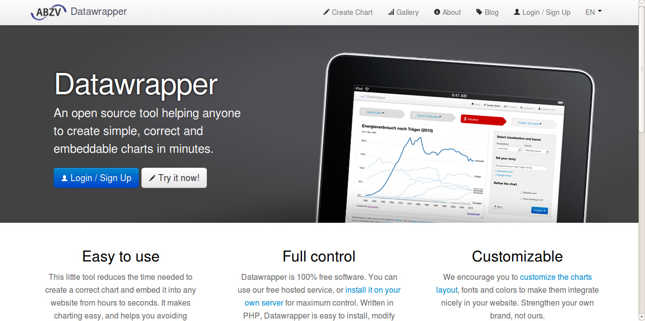
Datawrapper is an open source tool to enable the creation of basic, correct charts for the web. Anyone in need of a modern chart can use this tool.
FrontlineSMS is a free, open source software that turns a computer and a mobile phone or modem into a central communications hub to facilitate structured communication between members of the network and the public. Primarily a desktop software that enables instantaneous two-way communication to any mobile handset, FrontlineSMS does not require the Internet to work but does […]
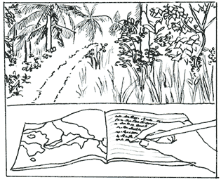
Field Papers is a tool to help you create a multi-page atlas of anywhere in the world. Once you print it, you can take it outside, into the field, to record notes and observations about the area you’re looking at, or use it as your own personal tour guide in a new city. Keep your […]
MapKnitter (MapKnitter.org) is a free and open source tool for combining and positioning images (often from MapMill.org) in geographic space into a composite image map. Known as “orthorectification” or “georectification” to geographers, this step covers the process of figuring out where images can be placed on an existing map, and how they can be combined, or […]
Processing is a programming language, development environment, and online community. Since 2001, Processing has promoted software literacy within the visual arts and visual literacy within technology. Initially created to serve as a software sketchbook and to teach computer programming fundamentals within a visual context, Processing evolved into a development tool for professionals.
TileMill is a tool for cartographers to quickly and easily design maps for the web using custom data. It is built on the powerful open-source map rendering library Mapnik – the same software OpenStreetMap and MapQuest use to make some of their maps. TileMill enables you to load data from a wide range of sources to and then to orderand layer your sources […]
Developed by Development Seed, the company also behind MapBox and Tile Mill
OpenRefine (ex-Google Refine) is a powerful tool for working with messy data, cleaning it, transforming it from one format into another, extending it with web services, and linking it to databases (1) For journalists its very helpful on finding isolated cases, anomalies and general filtering of information. Its is also ideal for putting separate tables […]
Ushahidi is a crowdsourcing software which can be installed and customized. It receives reports via direct submissions on the website, but also connects to mobile apps and SMS plataforms, such as Frontline. Crowdmap (on its Classic version) acts with the same functionalities of Ushahidi but with its dashboard and database hosted in the cloud. Most […]
Datawrapper is a non-commercial, open source software, licensed under the MIT License. Use of the public version of Datawrapper is free. Alternative uses are installing and customizing Datawrapper on your own or letting us help you with professional (though billed for) customization and coding services. Datawrapper on Github
Adobe Illustrador “is an editor of vector images” that helps to create advance design for graphics. Most of the newsrooms work with this software and it is mostly used on static data visualizations. The software is proprietary. According to Wikipedia, it was originally created by Apple Macintosh then acquired by Adobe. The latest version, Illustrator CC, […]
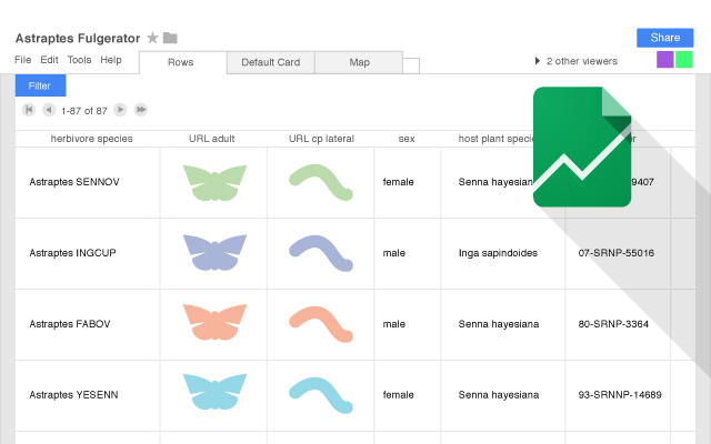
Fusion Tables is a tool developed by Google, which allows you to store datasets and visualize them in formats like maps and charts.
